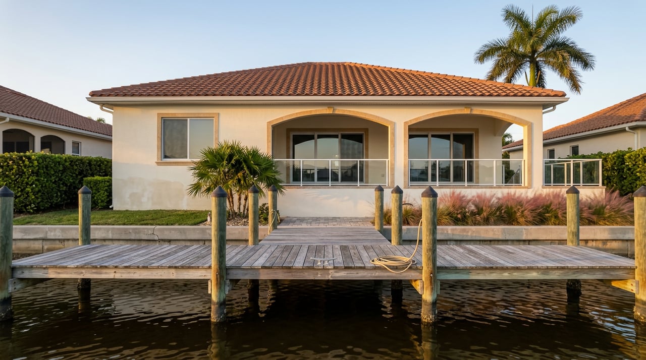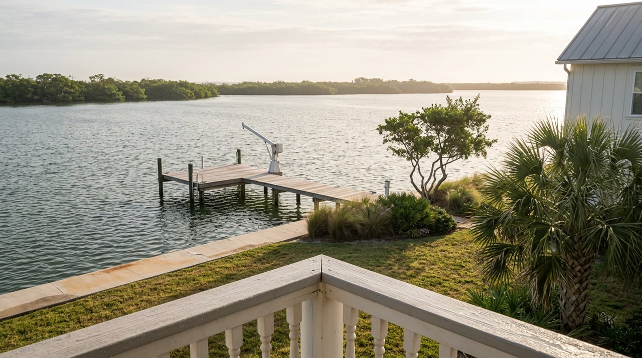
The dock looks perfect. Freshly capped pilings, a lift rated for the boat you already own, a seawall that the listing photos make look brand new. You stand on it, look downriver toward the water, and picture the boat ride out to the inlet on a Saturday morning.
What the dock doesn't tell you is what happens a quarter mile downstream, where a fixed bridge sits low over the water and doesn't care what your listing agent promised about "deep water access." In Tequesta, that bridge, not the dock, is often the thing that decides whether the boating lifestyle a waterfront home is sold on actually exists for the buyer standing on it.
A Question Most Showings Never Raise
Waterfront listings in Tequesta tend to sell the parts you can see from the yard: dock condition, lift capacity, seawall age, water depth at the property line. Those are real and worth checking. What they leave out is the part you can't see standing on the property: what's actually reachable by water once you leave the dock.
That gap matters here more than in most South Florida markets because Tequesta sits where the Loxahatchee River splits into three forks before it reaches the Intracoastal Waterway and the Jupiter Inlet. Each fork has its own set of bridges, and several of those bridges are fixed, meaning they don't open for anyone. A home two doors apart on paper can sit behind two very different ceilings on the water.
Three Forks, Three Different Ceilings
The North Fork runs past communities like River Ridge and Bay Harbor before reaching the Tequesta Drive bridge. The Northwest Fork runs upstream toward Riverbend Park and Jonathan Dickinson State Park, with a fixed bridge at Island Way marking the practical limit for anything larger than a small runabout. The Southwest Fork is the most restricted of the three, gated by a series of fixed bridges beginning near its mouth. All three meet in a central embayment that flows out through the inlet, passing beneath the Alternate A1A bridge and the US 1 bridge on the way.
Here's roughly what a boat owner is working with, measured at mean high water:
| Bridge | Where it sits | Clearance | Type |
|---|---|---|---|
| Tequesta Drive Bridge | North Fork | roughly 11 to 14 feet, depending on the source | Fixed |
| Island Way Bridge | Northwest Fork, lower reach | about 12 feet | Fixed |
| Loxahatchee River Road corridor | Southwest Fork | as low as 4.5 feet | Fixed, three bridges |
| Alternate A1A / SR 811 | Central embayment toward the inlet | about 20 feet | Fixed |
| Jupiter Island Bridge | Intracoastal Waterway in Tequesta | 25 feet | Drawbridge, opens on demand, no more than twice per hour |
| US 1 / Federal Highway | Central embayment near the inlet | up to 42 feet | Drawbridge, rebuilt 2025 to 2026 |
A 12 to 14 foot ceiling rules out most sailboats with fixed masts and a lot of flybridge sportfishing boats, but it's no obstacle for a center console, a pontoon, or most family day boats. Drop below 5 feet, as the Southwest Fork does, and you've left boating water for paddling water. That's consistent with the fork's history: a stretch of the Northwest Fork upstream was designated Florida's first National Wild and Scenic River in 1985, and the water above Island Way behaves accordingly.
A dock only promises what the nearest fixed bridge actually allows through.
The Bridge That Just Changed Part of the Math
For years, the old US 1 bridge over the Loxahatchee, built in 1958, was a genuine pinch point for anyone running between Tequesta and the ocean along the central embayment. The Florida Department of Transportation has since replaced it with a twin double-leaf drawbridge offering up to 42 feet of vertical clearance and a 125-foot navigable channel, a substantial jump from the old structure.
That's real news for a buyer, but it doesn't rewrite the whole map. The new US 1 bridge affects the stretch of water near the inlet. It does nothing to change what a boat can do upstream of the Tequesta Drive bridge on the North Fork or the Island Way bridge on the Northwest Fork. Those fixed crossings still cap what leaves those docks, regardless of how much easier the final run to the ocean has become. Knowing the difference between "the inlet corridor just got easier" and "my dock just got more useful" is exactly the distinction a bridge clearance table is supposed to give you.
What the Current Listings Suggest
As of mid September 2026, close to 90 properties were active across the village, spanning single-family homes, condos, and townhomes in roughly 20 named communities, including three waterfront communities and three waterfront condo complexes. Single-family asking prices ranged from around $625,000 up to nearly $13 million, condos from under $200,000 to well over $7 million, and townhomes mostly under $900,000.
That spread by itself tells you the village holds very different products under one zip code. What it doesn't tell you, and what a median price never will, is which of those addresses come with a fixed bridge between the dock and blue water and which don't. Two homes with similar square footage and similar asking prices can sit on completely different water, one behind an 11 to 14 foot bridge that limits it to smaller craft, the other on the Intracoastal side with a clear run past the Jupiter Island drawbridge and the newly rebuilt US 1 crossing. Local market commentary this year has pointed to a real premium, often cited in the range of 40 to 60 percent, for waterfront property with unobstructed access to the inlet compared to homes without it. A bridge clearance table is one of the few ways to tell, from the listing sheet alone, which side of that premium a given dock actually sits on.
Confirm the Bridge Before You Confirm the Dock
A short due diligence sequence, done before an offer goes in rather than after closing:
- Measure your vessel's actual air draft from the waterline to its highest fixed point, not the "overall height" figure on a spec sheet, which often excludes antennas, outriggers, or hardtop additions.
- Identify the fork the property sits on and the nearest fixed bridge between that dock and open water.
- Treat clearance figures as measured at mean high water, since a boat that clears a bridge at low tide can still get stuck at high tide.
- Cross check the published clearance against a current boaters' reference or chart before writing an offer. Figures for the same bridge can vary by a few feet depending on survey date, which is exactly what happens with the Tequesta Drive bridge, where published numbers range from about 11 to 14 feet.
- Pull the seawall and dock permit history for the specific address rather than relying on a visual inspection alone.
The Permit Trail Matters Just as Much
That last step deserves its own attention. The Village of Tequesta's Building Department maintains a public records search where any buyer can look up permits, inspections, and code enforcement history by address before writing an offer. Seawall work in the village requires its own permit submittal, and a structure that looks freshly resurfaced can still be sitting on an expired or missing permit. Building permit fees in the village generally run about 1 percent of construction valuation, with a $1,500 minimum application fee for new single-family work, which gives you a rough sense of scale if a seawall or dock ever needs redoing after you close.
Checking that record takes a few minutes and tells you something a walk-through never will: whether the structure you're buying was actually built the way it was supposed to be.
A Short FAQ
Does every Tequesta waterfront address have ocean access? No. The Loxahatchee's three forks are gated by different fixed bridges, and parts of the Southwest Fork and the upper Northwest Fork function more as paddling water than boating water.
Does the US 1 bridge replacement change values on the North Fork? Not directly. The new 42-foot clearance affects the corridor near the inlet. A home behind the Tequesta Drive bridge on the North Fork is still capped by that structure no matter what happens downstream.
Why do clearance numbers for the same bridge sometimes disagree? Most figures are measured at mean high water, and small differences in survey timing or tide assumptions can shift a reported number by a couple of feet. Treat any published clearance as a starting point to verify against a current chart, not a guarantee to rely on.
If you're weighing a specific dock, fork, or fixed bridge against your own boat, or you just want a second set of eyes on a seawall's permit history before you write an offer, Robert Floyd Realty can walk the property, and the paperwork, with you before you commit. Let's Connect.